
Your city runs on cables, antennas, and sensors you've never noticed—until now.
Track down visible tech infrastructure in your city—cell towers, fiber nodes, surveillance systems, and digital interfaces most people walk past daily.
Walk down any city block and you're swimming in invisible data streams. Cell signals bounce off disguised towers, fiber optic cables run under manhole covers marked with cryptic utility codes, and cameras track movement at intersections. Most people never look up or down to see the physical backbone of our connected world. This quest teaches you to read the city's digital layer. You'll identify cell tower types by their antenna configurations, spot fiber optic junction boxes by their telltale vents and warning labels, recognize different generations of traffic sensors, and understand why certain utility poles are clustered with equipment. The downtown financial district around 3PM is prime time—you'll see technicians servicing equipment and can observe the density differences between commercial and residential infrastructure. By the end, you'll never see your neighborhood the same way. That weird cylindrical structure on the building roof? 5G small cell. The box with cooling vents on the telephone pole? Fiber node serving 200+ homes. The city becomes readable once you know the visual language of technology infrastructure.
Once you learn this visual language, your city becomes readable. You'll spot the fiber node serving your block, recognize why certain intersections bristle with sensors, and understand the invisible grid that powers every video call and pizza delivery. The infrastructure was always there—you just never knew how to see it.
Top gear to make this quest great.

Lets you identify cell tower sectors, read carrier markings, and spot small cells on tall buildings without neck strain. Essential for distinguishing 4G panels from 5G arrays at distance.

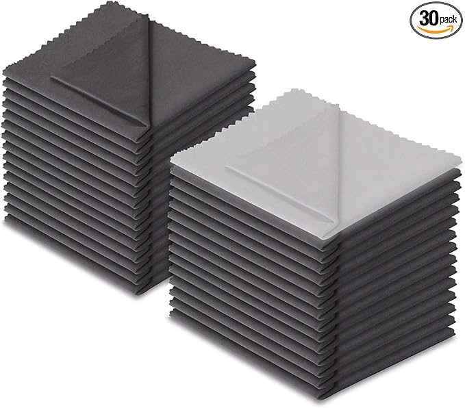
City grime and fingerprints ruin infrastructure photos. Clean optics reveal antenna details and equipment labels that separate tower types.

Quick visual reference helps you distinguish Nokia vs. Ericsson antennas, identify fiber terminal types, and recognize specific surveillance tech brands in the field without constant phone searching.
As an Amazon Associate I earn from qualifying purchases. Prices may change.
Pick a zone with both storefronts and apartments. Bring your phone or a notepad to log what you find. Early afternoon gives you clean light for photographing equipment without harsh shadows.
Macro towers show large panel antennas in three-sector arrays. Small cells appear as boxes or cylinders bolted to light poles. Scan rooftops for installations hidden inside fake chimneys, church steeples, or architectural flourishes. Snap carrier markings when you spot them.
Hunt for green or gray utility boxes stamped 'fiber' or bearing telecom logos. Check manhole covers for 'F' markings. On utility poles, spot the black cables about half-inch thick—sometimes tagged with orange warnings—those are aerial fiber runs.
Beyond traffic cameras, find acoustic gunshot sensors (cylinders on poles), environmental monitors (mini weather stations), and smart parking pucks embedded in pavement or mounted overhead. Note what equipment concentrates where.
Cell towers masquerade as palm trees, flagpoles, and building trim. Fiber splice boxes get painted to match facades. Sensors hide inside benches and streetlights. Train your eye to see the vents, antennas, and warning labels that give them away.
Photograph everything with rough location notes. Build a personal map showing tower types, fiber routes you traced, sensor clusters, and surveillance coverage patterns. Mark density hotspots and compare old copper junction boxes to sleek fiber installations.
Get everything you need to make this quest amazing.

Lets you identify cell tower sectors, read carrier markings, and spot small cells on tall buildings without neck strain. Essential for distinguishing 4G panels from 5G arrays at distance.
Compact binoculars for reading equipment labels and antenna details on rooftops and high poles
Get on Amazon · $42.99Confirms which towers are active, identifies carrier ownership, and reveals coverage patterns invisible to the naked eye. Premium versions offer historical data and more detailed network mapping.
Apps like Network Cell Info Lite (Android) or OpenSignal that show cell tower locations, signal strength, and network types in real-time

City grime and fingerprints ruin infrastructure photos. Clean optics reveal antenna details and equipment labels that separate tower types.
Microfiber cloth for cleaning binocular lenses and phone camera lens
Get on Amazon · $9.99
Quick visual reference helps you distinguish Nokia vs. Ericsson antennas, identify fiber terminal types, and recognize specific surveillance tech brands in the field without constant phone searching.
Printed reference card or saved images showing common antenna types, fiber equipment, and sensor configurations
Get on Amazon · $29.95RELATED GEAR GUIDE
Urbex Gear: 12 Picks I Field-Tested in 2026
Field-tested picks · Urban Exploration
As an Amazon Associate, IRL Sidequests earns from qualifying purchases at no extra cost to you.
Prices and availability are subject to change. The price shown at checkout on Amazon at the time of purchase will apply.
Hand-selected quests our team thinks you'll love

Every sidewalk crack has a story—you just need to know where to look.

That building you pass every day? It's been screaming details at you that you've never noticed.

Your city has layers most people never see—here's how to peel them back.